Trail On foot Le Falgoux - Sur la route des transhumances étape 2 - Photo

Sur la route des transhumances étape 2

Tous les sentiers balisés d’Europe PRO

© OpenStreetMap contributors
Length
Length
18.3 km
Max alt
Max alt
1548 m
Uphill gradient
Uphill gradient
984 m
Km-Effort
Km-Effort  
31 km
Min alt
Min alt
894 m
Downhill gradient
Downhill gradient
894 m
Boucle
Boucle
No
Signpost
Signpost
Creation date :
2022-02-15 13:56:24.662
Updated on :
2022-03-02 15:54:12.821

(0 Reviews)

On foot
On foot
7h04
Difficulty : Difficult

Scan this QR Code to open this trail in the SityTrail application

FREE GPS app for hiking

Logo SityTrail SityTrail

IGN / Geographical institutes

Download SityTrail from the App Store Download SityTrail from Google Play

Logo SityTrail SityTrail World

The world is yours!

Download SityTrail from the App Store Download SityTrail from Google Play Download SityTrail on Huawei AppGallery

About

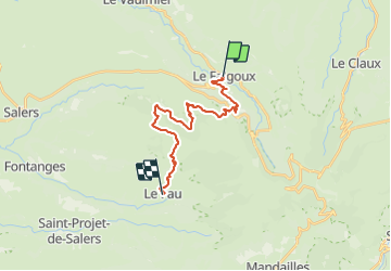
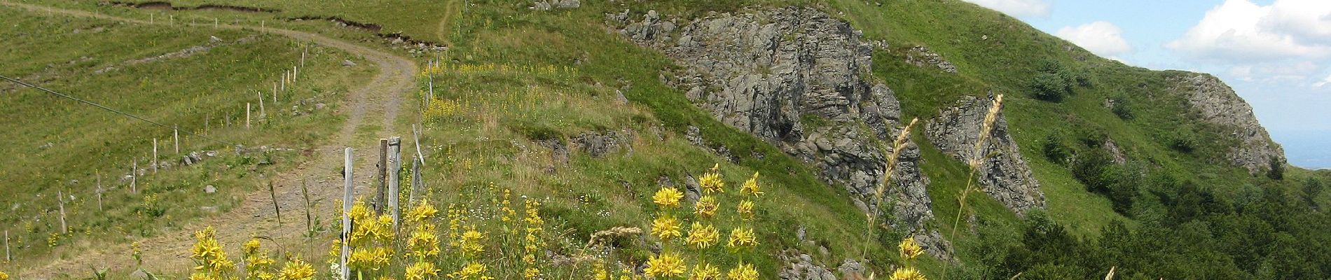
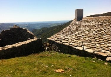
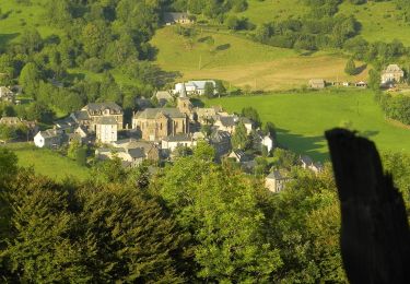
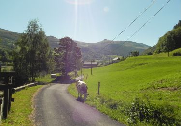
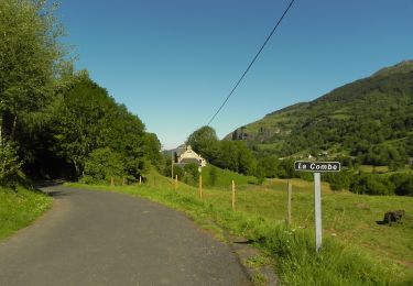
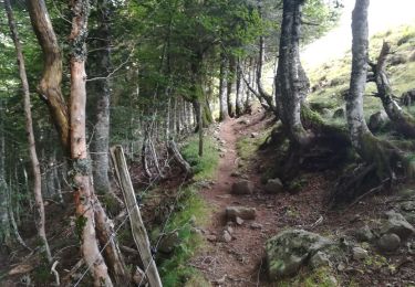
Trail On foot of 18.3 km to be discovered at Auvergne-Rhône-Alpes, Cantal, Le Falgoux. This trail is proposed by SityTrail - itinéraires balisés pédestres.

Description

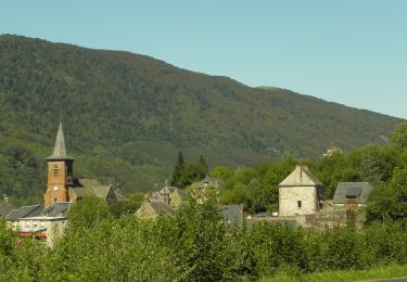
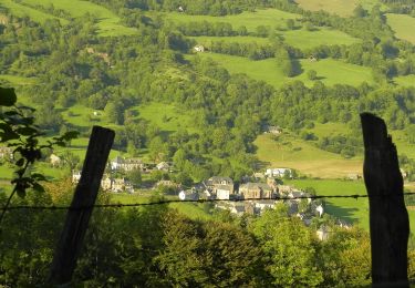
Le territoire de la Communauté de Communes du Pays de Salers se compose de 27 communes dont 14 font partie du Parc Naturel Régional des Volcans d’Auvergne et 6 du Grand Site du Puy Mary. Elle se situe au cœur du Massif Central, au Nord-Ouest du département du Cantal entre la Dordogne et les Monts du Cantal.

Website: http://www.pays-salers.fr/node/509

Photos

Positioning

Country:
France
Region :
Auvergne-Rhône-Alpes
Department/Province :
Cantal
Municipality :
Le Falgoux
Location:
Unknown
Start:(UTM)
470303 ; 5000169 (31T) N.

Trails nearby

Trail Other activity Saint-Paul-de-Salers - 15.08.2013 - Photo
Other activity
robertserre

Other activity

Easy
(1)
Saint-Paul-de-Salers, Auvergne-Rhône-Alpes, Cantal, France
33 km | 54 km-effort
6h 13min
No
Trail On foot Le Falgoux - Le Roc du Merle - Photo
On foot
PRO

On foot

Easy
Le Falgoux, Auvergne-Rhône-Alpes, Cantal, France
8.3 km | 14.5 km-effort
3h 18min
No
Trail On foot Le Falgoux - Sentier de la cascade du Biaguin - Photo
On foot
PRO

On foot

Easy
Le Falgoux, Auvergne-Rhône-Alpes, Cantal, France
3.8 km | 5.5 km-effort
1h 14min
Yes
Trail On foot Le Falgoux - La Baladie - Photo
On foot
PRO

On foot

Easy
Le Falgoux, Auvergne-Rhône-Alpes, Cantal, France
10.9 km | 18.5 km-effort
4h 11min
Yes
Trail On foot Le Falgoux - Le Mars - Photo
On foot
PRO

On foot

Easy
Le Falgoux, Auvergne-Rhône-Alpes, Cantal, France
9.9 km | 16.1 km-effort
3h 39min
Yes
Trail On foot Le Falgoux - Sentier du Bar - Photo
On foot
PRO

On foot

Easy
Le Falgoux, Auvergne-Rhône-Alpes, Cantal, France
4.7 km | 8 km-effort
1h 49min
Yes
Trail Walking Saint-Paul-de-Salers - 11.08.2013 - Photo
Walking
robertserre

Walking

Easy
(1)
Saint-Paul-de-Salers, Auvergne-Rhône-Alpes, Cantal, France
10.6 km | 15.6 km-effort
3h 7min
No
Trail Walking Le Falgoux - le falgoux - Photo
Walking
robertserre

Walking

Easy
(1)
Le Falgoux, Auvergne-Rhône-Alpes, Cantal, France
7.8 km | 10.4 km-effort
2h 22min
Yes
Trail Mountain bike Le Falgoux - Le Falgoux - Pas de Peyrol - Photo
Mountain bike
kipoura

Mountain bike

Very difficult
Le Falgoux, Auvergne-Rhône-Alpes, Cantal, France
46 km | 68 km-effort
4h 20min
No


Close
My subscriptions